Log in
All resources
Create a design
25 Free Images of Maps By Daniel Stoopendaal
maps in the stadsarchief amsterdam
old maps of amsterdam
maps by nicolaes visscher i
nicolaes visscher
geocentric model
heliocentric model
latin-language maps
biblia, dat is de gantsche h. schrifture
dutch-language maps
dutch 17th-century prints in the rijksmuseum amsterdam
maps in the stadsarchief amsterdam
daniel stoopendaal
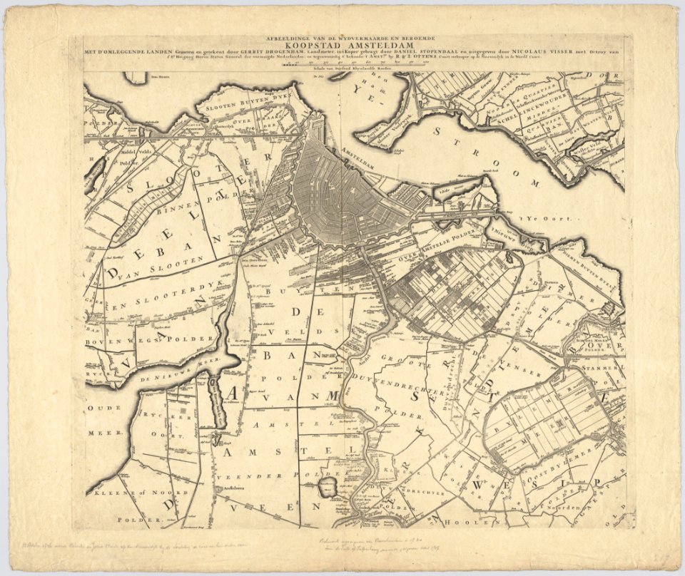
maps in the stadsarchief amsterdam
daniel stoopendaal
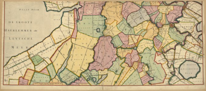
maps in the stadsarchief amsterdam
daniel stoopendaal
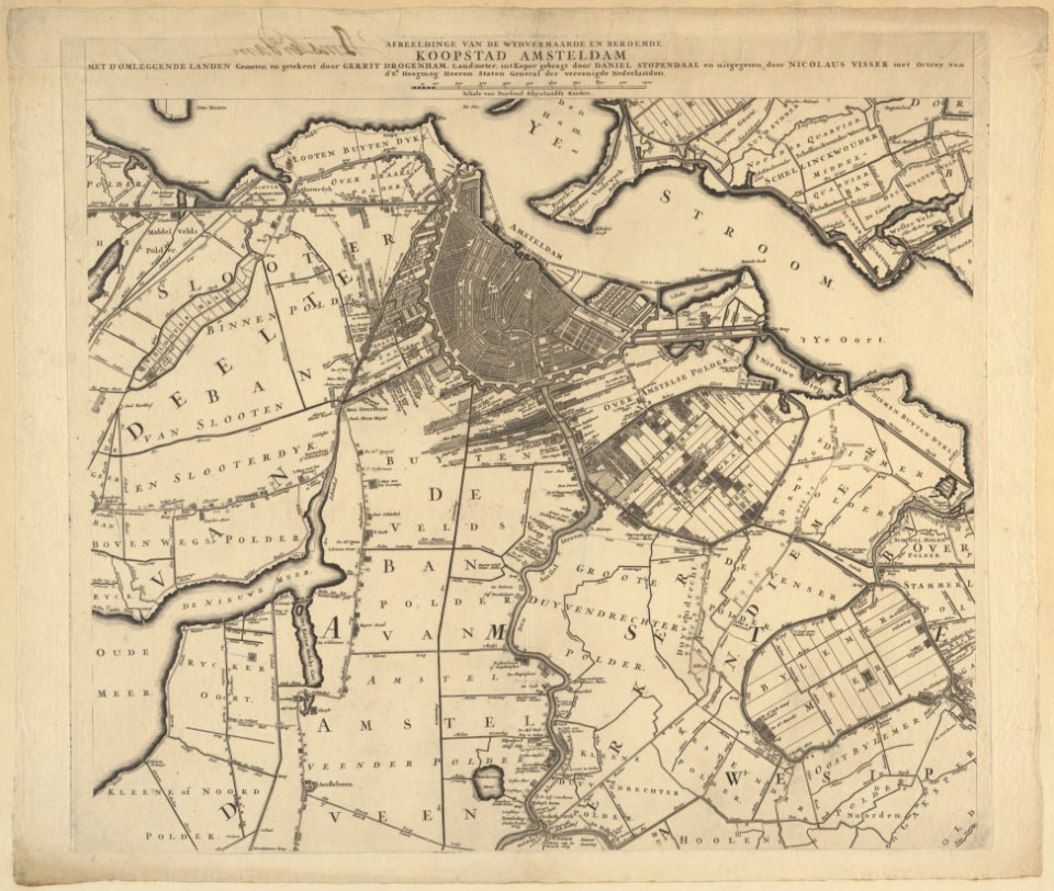
maps in the stadsarchief amsterdam
daniel stoopendaal
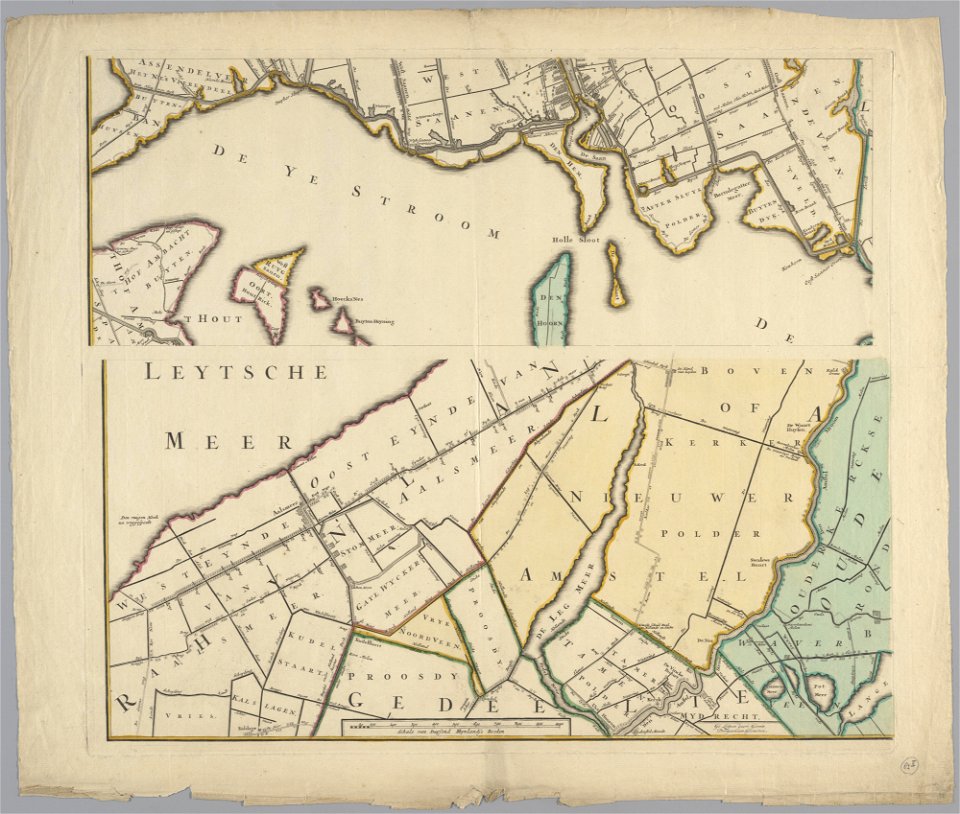
maps in the stadsarchief amsterdam
daniel stoopendaal
maps in the stadsarchief amsterdam
daniel stoopendaal
maps in the stadsarchief amsterdam
daniel stoopendaal
maps in the stadsarchief amsterdam
daniel stoopendaal
maps in the stadsarchief amsterdam
daniel stoopendaal
maps in the stadsarchief amsterdam
daniel stoopendaal
maps in the stadsarchief amsterdam
daniel stoopendaal
maps of waterways in the netherlands
de zegepraalende vecht
maps in the stadsarchief amsterdam
daniel stoopendaal
british library - off the map alice collection - gardens
british library maps collections
maps in the stadsarchief amsterdam
daniel stoopendaal
maps in the stadsarchief amsterdam
daniel stoopendaal
history of university of amsterdam
old maps of amsterdam
17th-century maps of the eastern mediterranean
1690s maps of turkey
dutch 17th-century prints in the rijksmuseum amsterdam
maps by daniel stoopendaal
maps by daniel stoopendaal
biblical maps
dutch 17th-century prints in the rijksmuseum amsterdam
maps by daniel stoopendaal
maps by nicolaes visscher i
maps by daniel stoopendaal
18th-century double hemisphere world maps
1730s maps of the world
18th-century double hemisphere world maps
1730s maps of the world
geocentric model
1730 maps
1 - 25 of 25
/ 1